Garbing cool & interesting stories from internet
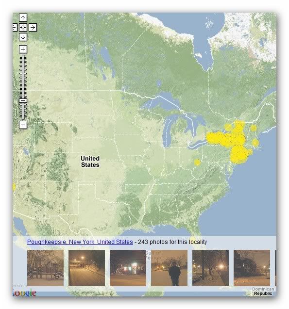
What? Where? When? is a new Google Map mashup that uses the Flickr API to show where in the world photos have been taken. It possible to search for photos with a particular tag and areas with photographs matching that tag will be shown on the map by a yellow circle. The size of the circle at any given place indicates how many photos were taken there.

You can click on a circle to see photos taken in that area, or zoom in if there are lots of overlapping areas. The photgraphs are shown film strip style along the bottom of the screen.

